Canadian Paper Charts - Central and Arctic

$20.00
Model #
17092024
Mfg #
7685
Quantity not available. Please adjust.
Temporarily Out of Stock
Thank you!
We'll let you know when it's back in stock.
-
+
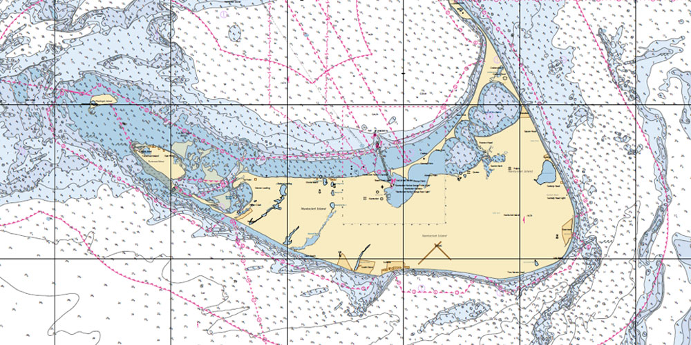
The CHS Canadian Paper Charts are perfect for navigation under conditions where electronics are rendered inoperable, or if you are looking to navigate by tradition. You may even use these as decorations. These maps represent Canada waterways - Central and Arctic.
Cartography
Tuktoyaktuk Harbor and Approaches
Countries
Canada
Features
Hazards
,
Aids to Navigation
,
Shoreline
,
Seafloor
,
Manmade & Natural Features
Region
Central Canada and Arctic
Scale
1:15000


