Juan de Fuca Strait to/à Strait of Georgia Tidal Current Atlas
Juan de Fuca Strait to/à Strait of Georgia Tidal Current Atlas
Model #
10643161
Mfg #
P244
$24.95
Model #
10643161
Mfg #
P244
Quantity not available. Please adjust.
Temporarily Out of Stock
Thank you!
We'll let you know when it's back in stock.
-
+
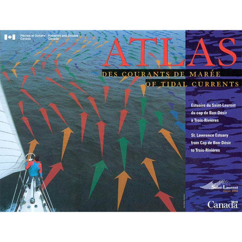
Tidal Current Atlases present a comprehensive view of the hourly rate and direction of major tidal currents within specific coastal regions of Canada. The Atlases use arrows to indicate the direction and the velocity of surface currents. They are to be used in conjunction with the Tide and Current Tables, provided annually by the Canadian Hydrographic Service. Tidal Current Atlases are available for Bay of Fundy and Gulf of Main, St. Lawrence Estuary from Cap de Bon-Désir to Trois-Rivières and Juan de Fuca Strait to Strait of Georgia in Pacific Coast.
Cartography
Bay of Fundy
,
Gulf of Main
,
St. Lawrence Estuary
,
Cap de Bon-Desir to Trois-Rivieres
,
Juan de Fuce Strait to Strait of Georgia
Countries
Canada
Features
Atlas
Region
North America


