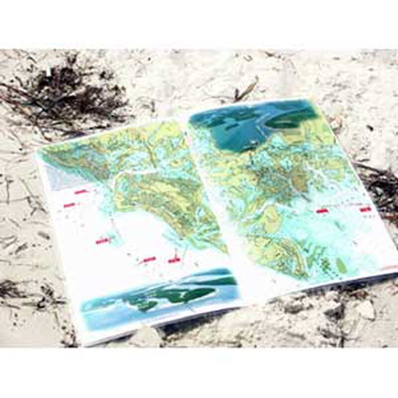
Marco Island to Cape Romano Nautical Chart
$8.49
Model #
11220316
Mfg #
SWF23
Quantity not available. Please adjust.
Temporarily Out of Stock
Thank you!
We'll let you know when it's back in stock.
-
+
Frequently Bought Together
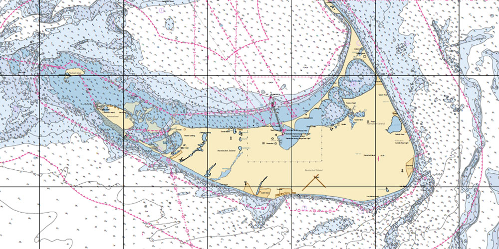
Marco Island, Goodland nautical charts are a “Must Have” chart. A front page overview from Marco Island to Cape Romano to Port of the Islands in Florida on these nautical charts. Inside the double page boating navigation chart is the overview area enlarged for easy navigation including photo visuals and mileage and compass headings from Coon Key Light off Goodland to Marker 3 to begin the 7 mile trip inland to Port of the Islands Resort & Marina in Florida. Best priced Goodland nautical charts for Marco Island, Florida to Cape Romano and Port of the Islands Resort & Marina in Florida
- Goodland nautical charts are easy to use and maintain in heavy weather conditions and at night
- User Friendly chart measures 22″ x 17″ open
- User Friendly chart measures 11″ x 17″ closed
- Most chart pages oriented from north to south to find your way
- Perfect size to keep track of your position in the water and
Sturdy enough to support daily use without wear and tear - Superb Graphics and Photography
- Great Visual Supplement to existing charting electronics
Fully Laminated at 10 mil and Waterproof Chart - “Write-On Wipe-Off! Time after Time” with a Sharpie marker and alcohol
- Used by Boat Towing companies, Coast Guard and Coast Guard Auxiliaries, Marinas, Boat Rentals, Insurance companies and more!
Cartography
Marco Island
,
Cape Romano
Features
Double Sided
,
Folded
,
Waterproof
Region
Gulf Coast
States
Florida
