Explorer Chartbook, Exumas and Ragged Islands—7th Edition
Lewis Offshore designed this Chartbook with everything Bahama Sailors need.
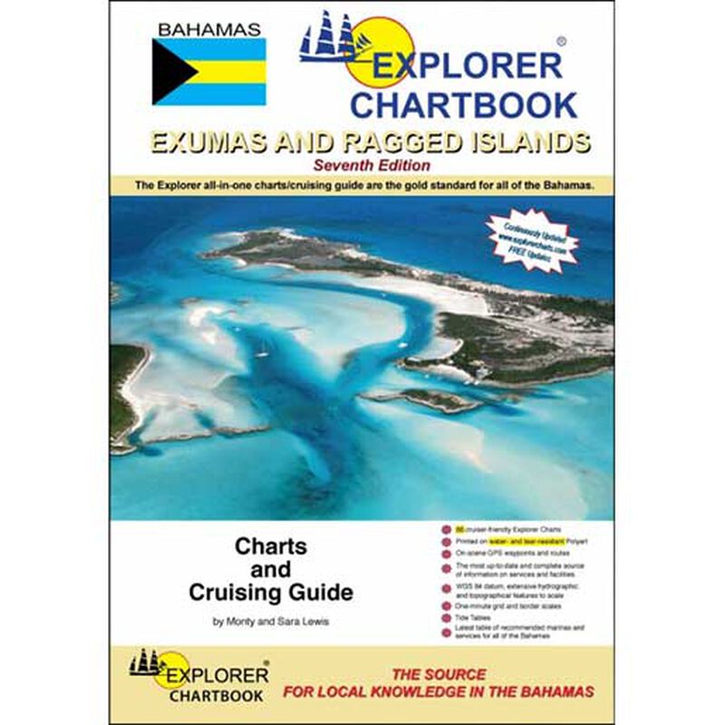
The true Explorer is always dreaming about new islands on the horizon. In that light, the seventh edition of the Explorer Chartbook Exumas and the Ragged Islands presents the chart coverage of the central cruising ground of the Bahamas. It’s been given a complete facelift to all of the original Exuma charts--digitally redrawn to pinpoint accuracy using aerial photographs. You’ll notice border scales, new and corrected data, depth contours, updated variation, chart page overlaps, and notes on “Joins page.” Lewis Offshore conducted new surveys in many areas, especially most extensively in the Ragged Island chain for your convenience.
Key Features
- 64 up-to-date full-color charts and close-ups
- Tide Tables
- Detailed crossing routes
- Small and large scale charts
Special Articles including
- GPS & Piloting
- Customs and Immigration
- Bahamas Weather
- Anchoring History and Description
- Health & Safety Tips
- Reading the Water
- Piloting the Exuma Cuts
- Radio Etiquette
- Communications & Radio Frequencies
- Lionfish for the Table


