Fire Island Inshore, Islip to Hampton Bays, NY, Fishing Chart
Clearance
Fire Island Inshore, Islip to Hampton Bays, NY, Fishing Chart
Model #
5363585
Mfg #
NY0102
Clearance
$4.91
Price reduced from
$15.95
to
Model #
5363585
Mfg #
NY0102
Clearance offer reflects an additional 50% off the lowest price for in-store pick up only.
Quantity not available. Please adjust.
Temporarily Out of Stock
Thank you!
We'll let you know when it's back in stock.
-
+
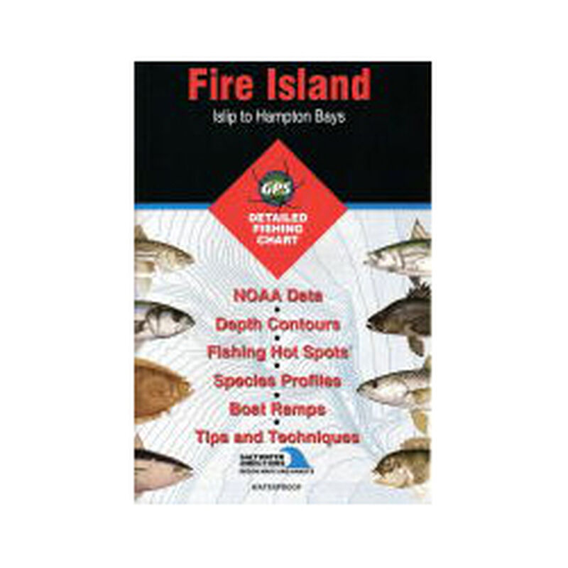
Saltwater Chart
Only 32 miles long, this well-known barrier island is home to 17 small summer communities, and is accessible only by ferry. These fabled waters are world famous for top-notch fishing with fluke, striped bass and weakfish just a few of the wide assortment of species available here.
Featured Species: Black Sea Bass, Bluefish, Flounder (Fluke), Scup, Striped Bass, Tautog, Weakfish and Winter Flounder
Map Features:
- Tips and Techniques for Featured Species
- GPS Information
- 9 Access Locations Indicated
- 35 Proven Fishing Areas Marked
- Area Marina Information
- Artificial Reefs Indicated with GPS (if applicable)
- Covers coast between Islip and Hampton Bays
Cartography
Fire Island
,
Islip to Hampton Bays (Inshore)
Features
Folded
,
Fishing
Region
Atlantic Coast
States
New York


