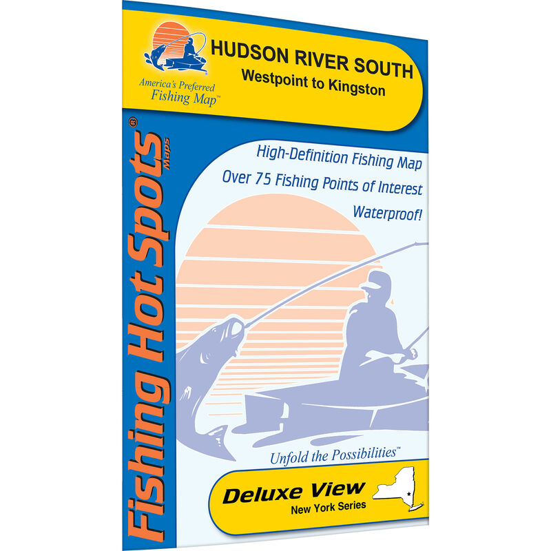
Hudson River-South (West Point-Kingston) Fishing Map
$11.99
Model #
4767927
Mfg #
M492
Quantity not available. Please adjust.
Temporarily Out of Stock
Thank you!
We'll let you know when it's back in stock.
-
+
1 of a 2 Map Set. The lower Hudson River, extending about 155 miles from New York City to Troy, is actually a tidal estuary of the Atlantic Ocean. Largemouth and smallmouth bass are plentiful, with realistic maximums at about six pounds for smallies and seven pounds for largemouth. This map covers from West Point to Kingston.
Cartography
Lake Ontario Fishing Map (Stony Point to St. Lawrence River)
Features
Fishing Points Of Interest
,
Folded
,
Double Sided
,
Waterproof
,
Tearproof
,
Navigational Aids
Region
Great Lakes
States
New York


