St. John's River North Waterproof Map
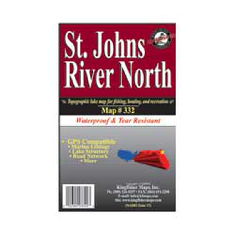
The St. John's River Water Management District has jurisdiction over some 12,400 square miles of area in Northern and East-central Florida, or about 21 percent of the state's total area. Map contains demographics from Palatka north to Jacksonville. The St. Johns River, 310 miles in length, is the longest river in Florida. Among its many distinct characteristics, the St. John's is one of few major rivers in the nation that flow north. The St. John's River and its tributaries drain about one-sixth of the state of Florida, or about 8,700 square miles. The river flows from its headwaters in marshes southwest of Cape Canaveral, evolving into a series of lakes, finally maturing into a river averaging two miles in width for its final one hundred miles into Jacksonville, and the Atlantic Ocean.
- Waterproof and tear resistant!
- GPS compatible, marina listings, lake structure, road network and more
- 25" x 38"
- One-sided
- 1:46,500


