St. Johns River South Waterproof Map
5X Points for all West Advantage Members.
Not a member? Sign up today.
Clearance offer reflects an additional 50% off the lowest price for in-store pick up only.
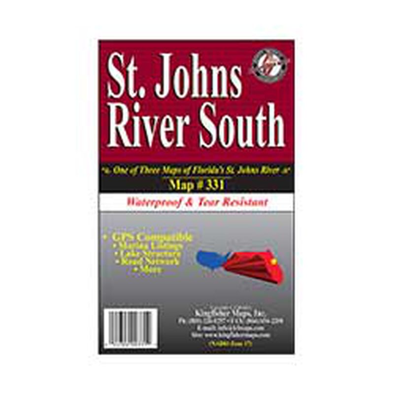
25"x38" One-sided. 1:66,000 Waterproof and Tear Resistant! GPS compatible with Marina listings, Lake structure and Road network. One of Three Charts. The St. Johns River Water Management District has jurisdiction over some 12,400 square miles of area in Northern and East-central Florida, or about 21 percent of the state's total area. Map contains demographics from Lake Dexter, Lake Woodruff, Lake Beresford, Konomac Lake, Lake Monroe, Lake Jessup, Lake Harney, and Puzzle Lake The St. Johns River, 310 miles in length, is the longest river in Florida.
Among its many distinct characteristics, the St. Johns is one of few major rivers in the nation that flow north. The St. Johns River and its tributaries drain about one-sixth of the state of Florida, or about 8,700 square miles. The river flows from its headwaters in marshes southwest of Cape Canaveral, evolving into a series of lakes, finally maturing into a river averaging two miles in width for its final one hundred miles into Jacksonville, and the Atlantic Ocean.


