Narragansett Bay to Nantucket Waterproof Chartbook, 2nd Edition
Clearance
Narragansett Bay to Nantucket Waterproof Chartbook, 2nd Edition
Model #
13504386
Mfg #
CCK-NAR-02
Clearance
$51.77
Price reduced from
$79.95
to
Model #
13504386
Mfg #
CCK-NAR-02
5X Points for all West Advantage Members.
Not a member? Sign up today.
Clearance offer reflects an additional 50% off the lowest price for in-store pick up only.
Quantity not available. Please adjust.
Temporarily Out of Stock
Thank you!
We'll let you know when it's back in stock.
-
+
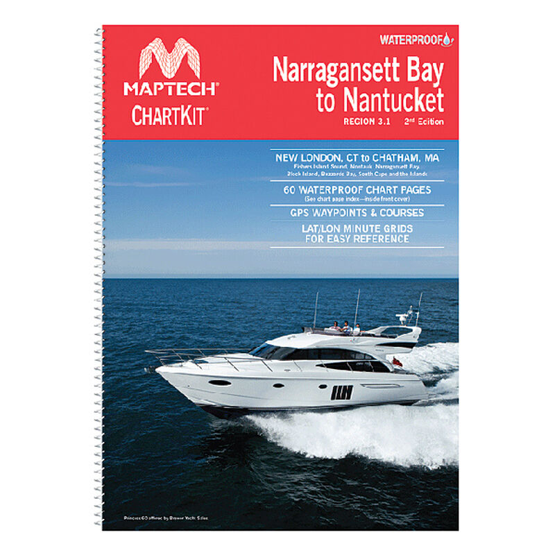
Compact waterproof chartbooks are ideal for daysailors, fishing boats, trawlers and trailer boats. Easy-to-use format includes GPS waypoints, pre-plotted courses, area marinas, restaurants and fuel and boat ramp locations. Contain 31, 12" x 17" pages of full-color, waterproof, tear-resistant charts.New London, CT to Chatham, MA. Includes Fisher’s Island Sound, Montauk, Narragansett Bay, Block Island, Buzzards Bay, South Cape and the Islands.
Cartography
Narragansett Bay to Nantucket
Features
Chartbook
Region
Atlantic Coast
States
Massachusetts


