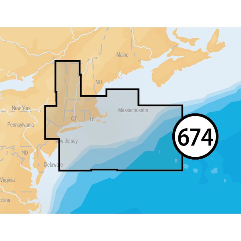
CF/674P+ Boston to New York Platinum+ Charts CF Card

5X Points for all West Advantage Members.
Not a member? Sign up today.
Clearance offer reflects an additional 50% off the lowest price for in-store pick up only.
With comprehensive Nautical Charts, HD bathymetry, 3D viewing and one year of free daily updates and community edits, Navionics Platinum+ is so much more than a map!
Always know precisely where you are when you use Navionics Platinum+ cartography on your boat. With constantly updated maps, community edits, high-resolution photo and chart overlaying and geo-referenced coast pilots, you can feel secure on all your boating adventures.
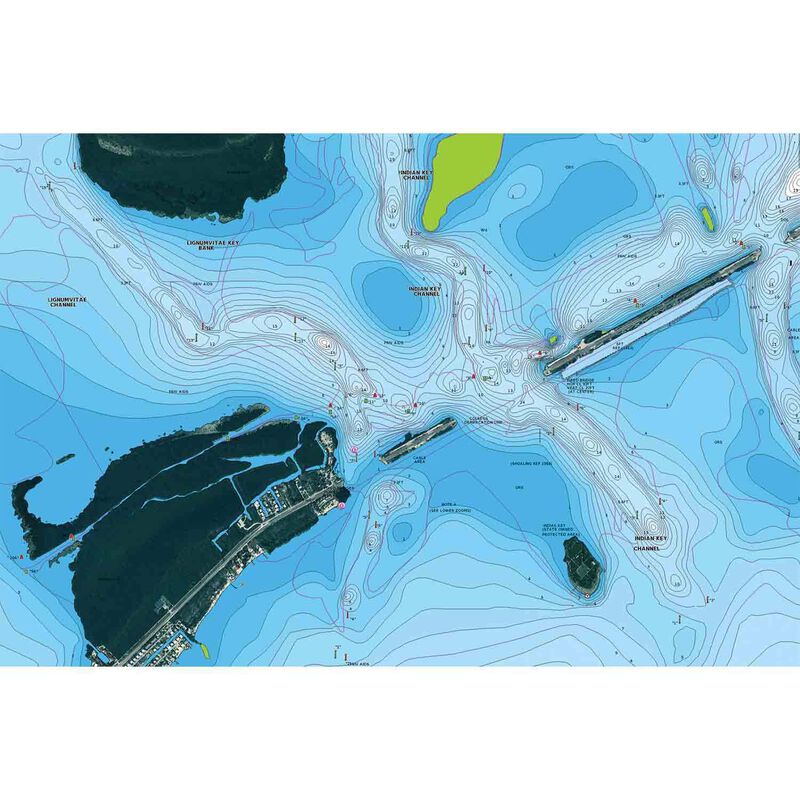
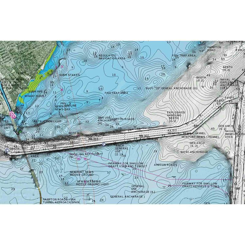
Multi-dimensional marine charts give you navigating confidence even in unknown waters.
Detailed Bathymetric Data gives you a clear view of what’s under your boat to increase your situational awareness and provide you with an edge when fishing.
Satellite Overlay and Coastal points- of-interest give you a commanding view of features above the water.
Exclusive Platinum features like 3D view, chart and photo overlay abilities, geo-referenced data and more give you more tools to make each boating adventure exceptional.
One Free Year of daily updates to Nautical Chart, Sonar Chart and Community Edits gives you peace of mind in an ever-changing world.
Coverage
- Boston to New York
- View Chart Detail
Key Features
- Precision and Accuracy: View the exact position of your vessel, detailed coastal features, obstructions, waterways, and depth contours so you will always know precisely where you are and where you want to go.
- Advanced Features: 3D view, high-resolution photo/chart overlay, port photos, and geo-referenced coast pilots are all part of the Navionics Platinum+ package.
- SonarChart: With high-definition 1’ bathymetry nearshore and 3’ – 6’ contours offshore beyond 90’, you will get a clear view of the underwater landscape. Add your own sonar data to the mix and create detailed maps of your favorite routes and anchorages.
- More than Maps: To ensure the best boating experience, Navionics Platinum+ doesn’t stop at maps and viewpoints. Port services information and local tides and currents are included on this card so you’ll have access to all the data you need to make each voyage a success.
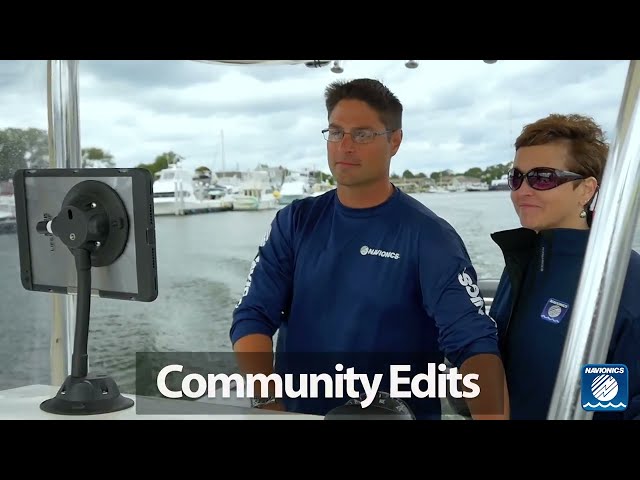
- Community Edits: Corrections, adjustments, and additions made by the boating community can be downloaded and added to your charts daily!
- Fresh- and Saltwater charts: With Navionics Platinum+ you get both fresh- and saltwater charts in the covered region.
What’s in the Box
- 8 GB Navionics Platinum+ card
- USB reader
- Documentation packet


