Mediterranean France, Spain & Gibraltar Charts

Mediterranean France, Spain & Gibraltar Charts
Model #
P014_421_110_502
Mfg #
014_421_110_502
Model #
P014_421_110_502
Mfg #
014_421_110_502
Quantity not available. Please adjust.
Temporarily Out of Stock
Thank you!
We'll let you know when it's back in stock.
-
+
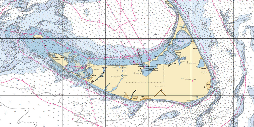
Defense Mapping Agency charts (now known as National Imagery and Mapping Agency or NIMA charts) are U.S. government charts of waters other than the territories and possessions of the U.S. (see NOAA charts for coverage of U.S. territories). These charts provide excellent worldwide coverage of the world's oceans and coastlines and are updated regularly.


