Louisiana to Alabama Preprinted Charts
Clearance offer reflects an additional 50% off the lowest price for in-store pick up only.
NOAA Lithographic Nautical Charts
For the last 150 years, the federal government produced nautical charts using lithographic printing presses. Although chart-making techniques advanced from the 19th century’s delicate hand-applied etchings on copper plates to a process that is now completely computer-based, the system remained based on printing large volumes of charts, then selling them from stock for years. Charts for sale were gradually more and more outdated until a new edition was printed.
NOAA discontinued production of Lithographic Nautical Charts this spring. These are our last remaining stock of traditionally-printed charts.
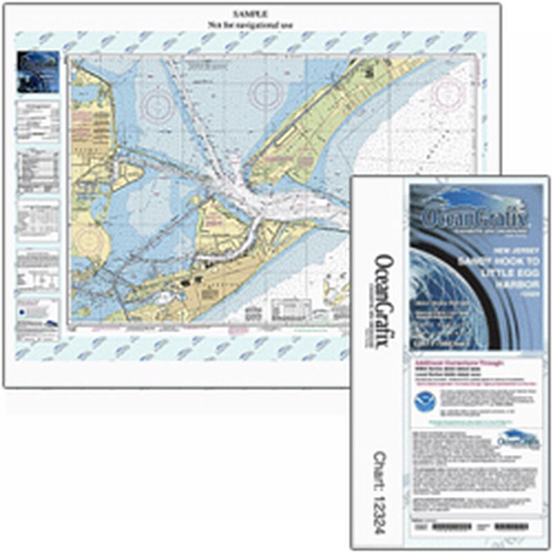
The print on demand system allows the changes made by Coast Survey cartographers to reach mariners much faster. We have Print-On-Demand charts from OCEANGRAFIX.
The paper charts sold by the NOAA-certified printing agents meet carriage requirements for ships covered by Safety of Life at Sea regulations, specified in Title 33 of the Code of Federal Regulations.


