Ni‘ihau to French Frigate Shoals Necker Island Nihoa 36 X 48 Waterproof
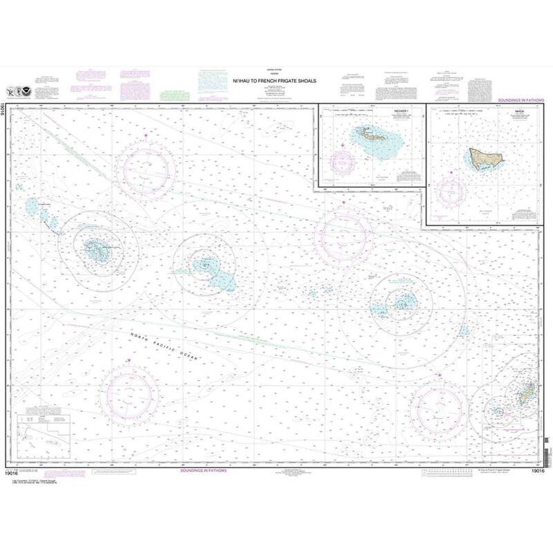
Ni‘ihau to French Frigate Shoals Necker Island Nihoa 36 X 48 Waterproof
Model #
16262354
Mfg #
19016WP-POD
$24.99
Model #
16262354
Mfg #
19016WP-POD
Quantity not available. Please adjust.
Temporarily Out of Stock
Thank you!
We'll let you know when it's back in stock.
-
+
Waterproof charts are printed on-demand using the most recent National Oceanic and Atmospheric Administration (NOAA) data. Coast Survey reviews charts weekly and applies all critical corrections specified in Notices to Mariners. All corrections to date are incorporated in these print-on-demand charts. Printed on Waterproof, tear-resistant material using state-of-the-art printing technology. Clean, crisp colors render a frame-quality, durable chart. Printed by Paradise Cay Publications, Inc., a NOAA-certified print-on-demand partner. Charts meet United States Coast Guard carriage requirements. Sizes are approximate.
Cartography
Niihau
,
French Frigate Shoals
,
Necker Island
,
Nihoa
Features
Waterproof
Region
Pacific Coast
Scale
1:663392
States
Hawaii


