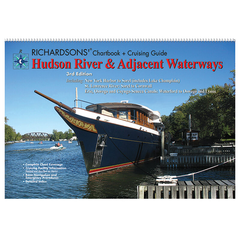
Hudson River & Adjacent Waterways Chartbook + Cruising Guide, 3rd Ed.

Clearance offer reflects an additional 50% off the lowest price for in-store pick up only.
Make the most of your adventures with the 3rd. edition of the Hudson River & Adjacent Waterways Chartbook & Cruising Guide. Covers miles of coastal beauty, including New York Harbor to Sorel (includes Lake Champlain). St. Lawrence River: Sorel to Cornwall. Erie and Oswego Canals - Waterford to Oswego and Lyons (includes Cayuga and Seneca Lakes).
Easy to use and packed with features!
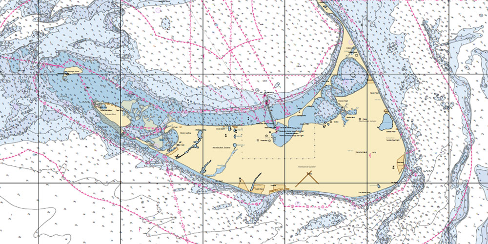
This easy-to-use, compact chart book is ideal for daysailors, fishing boats, and trailer boats. It measures 12" x 17" (24" x 17" when open) and is made of waterproof, tear-resistant synthetic paper that will withstand the elements.GPS Ready: New features make Waterproof Chartbooks easy to use with your GPS. Most charts include one-minute Lat/Lon grids to make vessel positioning a breeze, and major navigation aids are identified with named GPS waypoints.
Small- and Large-Scale Charts: Waterproof Chartbooks include small-scale, wide area charts as well as large-scale, detailed charts of harbors and approaches. The Chart Page Index (on the front cover) and “Go-To” page numbers make it simple to find the chart you want.
Pre-Plotted Courses: Maptech’s navigation editors add magnetic courses between major navigation aids with distances in nautical miles. Chartbooks are also designed to help you do the calculations yourself. Each page includes a compass rose with annual increase in variation and complete scale information.


