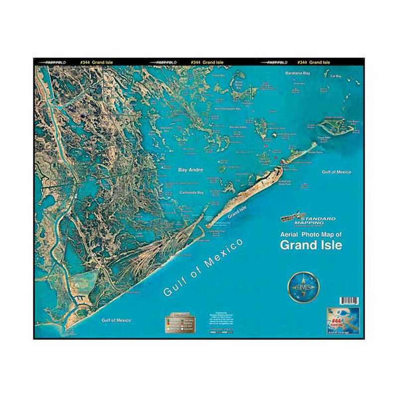
Grand Isle, Louisiana Laminated Map
$23.99
Model #
615877
Mfg #
LM044
Quantity not available. Please adjust.
Temporarily Out of Stock
Thank you!
We'll let you know when it's back in stock.
-
+
Standard Mapping Services Aerial Photo Maps are highly detailed and accurate maps for the modern mariner.
While utilizing the most current technologies, Standard Mapping Services produce only the highest quality, full color, and laminated photo maps. These beautifully detailed maps are easy to read and contain convenient, easy to use, GPS coordinates based on the most current sources of information from local navigators.
- Full color
- Rolled, laminated
- Approx. 22" x 34"
Features
Waterproof
Region
Gulf Coast
States
Louisiana


