Large-Print Waterproof Charts

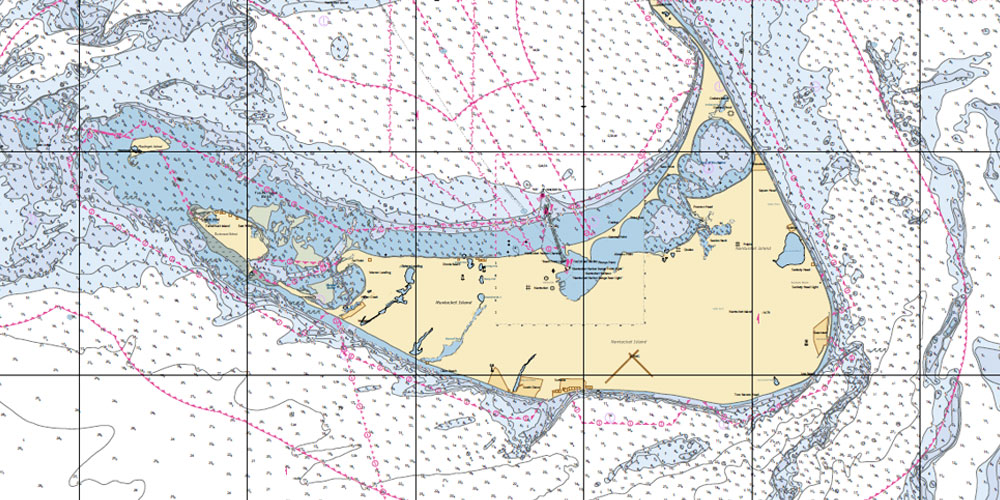
Hassle-free navigation defines these Waterproof Large Print Charts.
Constructed to withstand the elements, this Waterproof chart is printed on environmentally friendly, synthetic paper. The large print makes navigating a breeze and details are large enough, you don’t have to squint to see. You can even frame these charts thanks to the beautifully enlarged detailing. Charts are compiled with National Oceanic and Atmosphere Administration (NOAA) chart data for comprehensive overviews of each region.
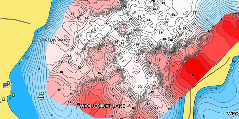
Destinations are easy to find and vibrant colors help identify water depth. With GPS waypoints clearly defined, setting up your electronics has never been easier. The paper these charts are printed on can also be marked easily with pencils and some grease pens. You won’t have to remember your reading glasses just to see the waypoints and buoys!
Key Features
- Large, detailed prints for easy navigation
- Beautiful, vibrant color schemes
- Waterproof, synthetic pages and binding that are environmentally friendly
- GPS waypoint labels on chart pages


