GPSMAP 942xs Plus Multifunction Display with Built In Sonar and G3 Coastal and Inland Charts


Clearance offer reflects an additional 50% off the lowest price for in-store pick up only.
PLUS Plan includes:
- Wear and Tear Coverage
- Power Surge Protection
- Exchange for products under $400
- Onboard service on products over $750
- Up to 5 years of total coverage
PLUS plan goes into effect with purchase; no registration required. Purchase online, in stores or call 1 (800) 262-8464.
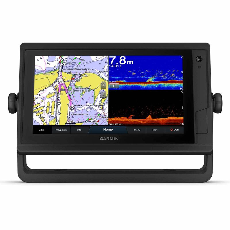
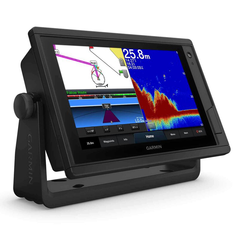
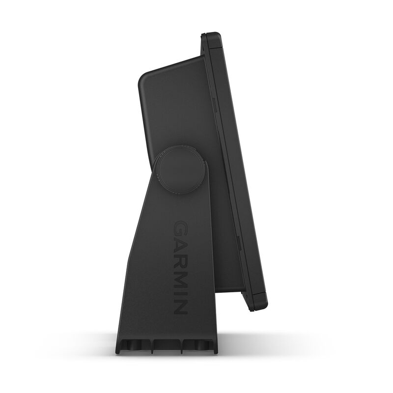
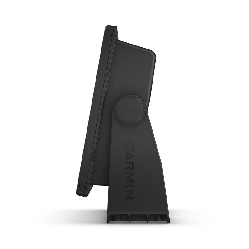
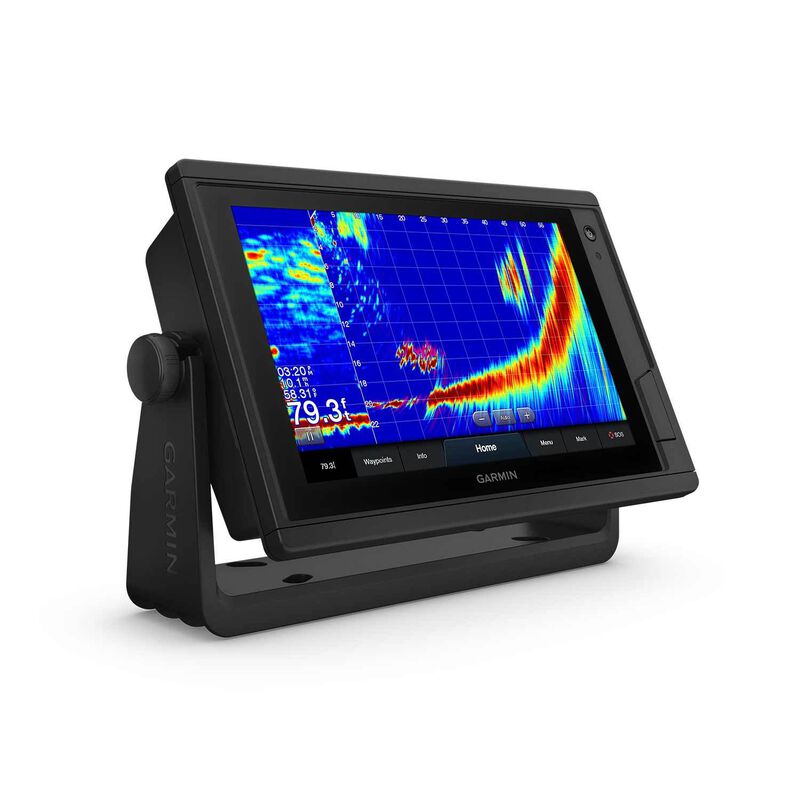
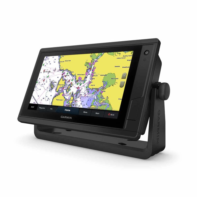
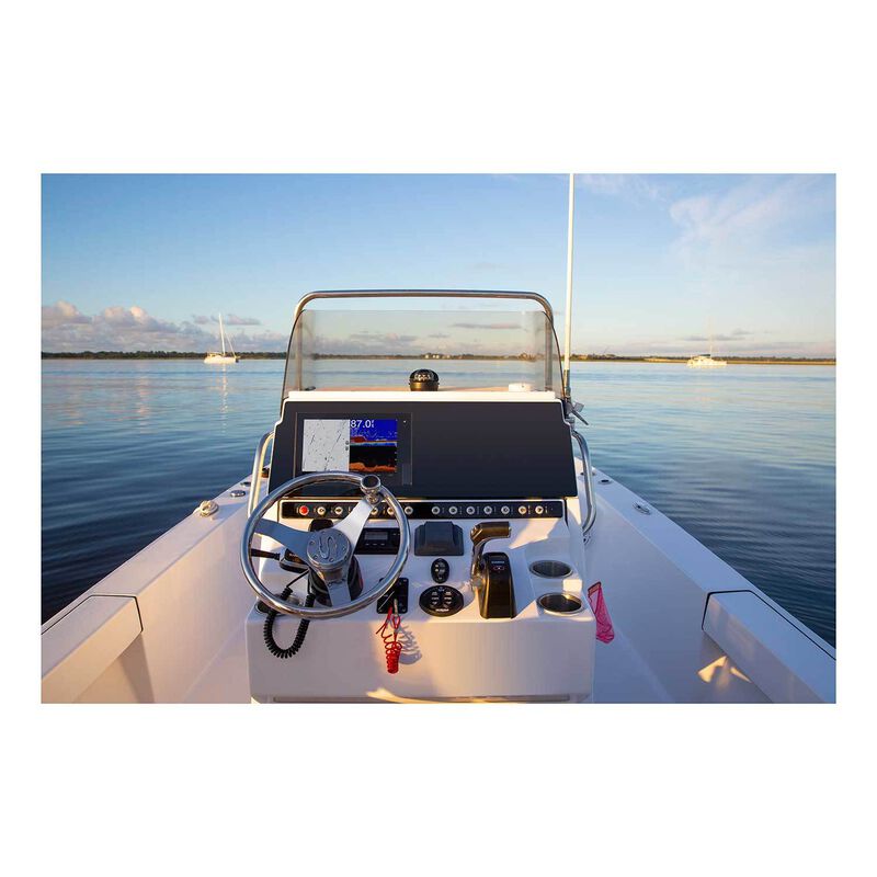
The bright, sunlight-readable 9" intuitive touchscreen chartplotter with enhanced map drawing is easy to use in any environment and seamlessly integrates into your Garmin marine system.
- Easily integrate with more engines
- Connect to your favorite third-party devices
- Easily build your marine system using the best of network connectivity
- Navigate any waters with preloaded mapping and coastal charts
- See below your boat with built-in sonar capabilities (transducers sold separately)
- Manage your marine experience from nearly anywhere
Traditional and Scanning Sonars
Get built-in support for 1 kW CHIRP traditional sonar for superior target separation and ClearVü scanning sonar to see up to 1,000' below your boat at 260 kHz (transducer sold separately).
Panoptix™ Sonar Support
Pair with Panoptix or Panoptix LiveScope™ easy-to-interpret live sonar (transducer sold separately) to see all around your boat in real time.
Preloaded Mapping
Experience unparalleled coverage and detail with preloaded BlueChart® g3 coastal charts and LakeVü g3 inland maps featuring integrated Garmin and Navionics® content and Auto Guidance technology.
Optional BlueChart® G3 Vision® Charts
Upgrade to our reliable premium charts, which add even more industry leading features, such as high-resolution relief shading, to help you on each trip.
Garmin Marine Network
If you have multiple Garmin devices on your boat, you can share information — such as maps, user data, radar and IP cameras — among them.
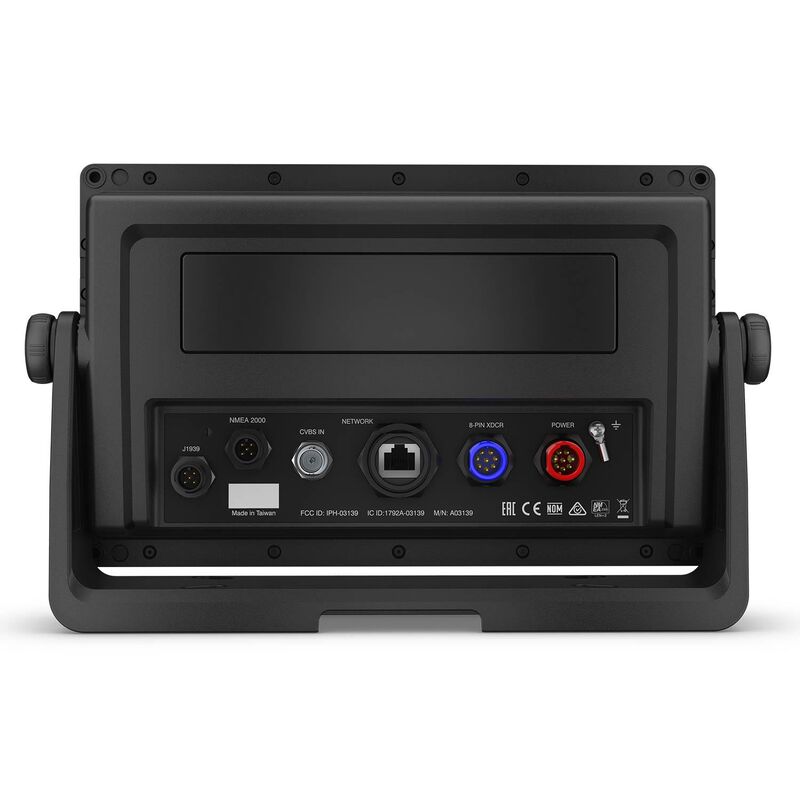
NMEA 2000® and NMEA 0183 Networks
Connect to autopilots, digital switching, weather, FUSION-Link™ audio system, media, VHF, AIS and more from one screen.
ActiveCaptain® App
Built-in Wi-Fi® connectivity pairs with the free all-in-one mobile app for access to the OneChart™ feature, smart notifications, software updates, Garmin Helm, Garmin Quickdraw™ Community data and more.
Integrated ANT® Technology
Connect with some of your favorite devices, such as quatix® marine watches, gWind™ Wireless 2 transducers, GNX™ Wind marine instruments and wireless remote controls.
J1939 Connectivity
Now you can connect your chartplotter to different kinds of engines, including Yamaha engines.
OneHelm™ Feature
This exclusive feature brings together all the operations and capabilities of third-party devices, such as EmpirBus™ digital switching, on one screen.
In the Box:
- GPSMAP 942xs Plus chartplotter
- Power cable
- Bail mount with knobs
- Flush mount kit with gasket
- Protective cover
- Trim piece snap covers
- Documentation


