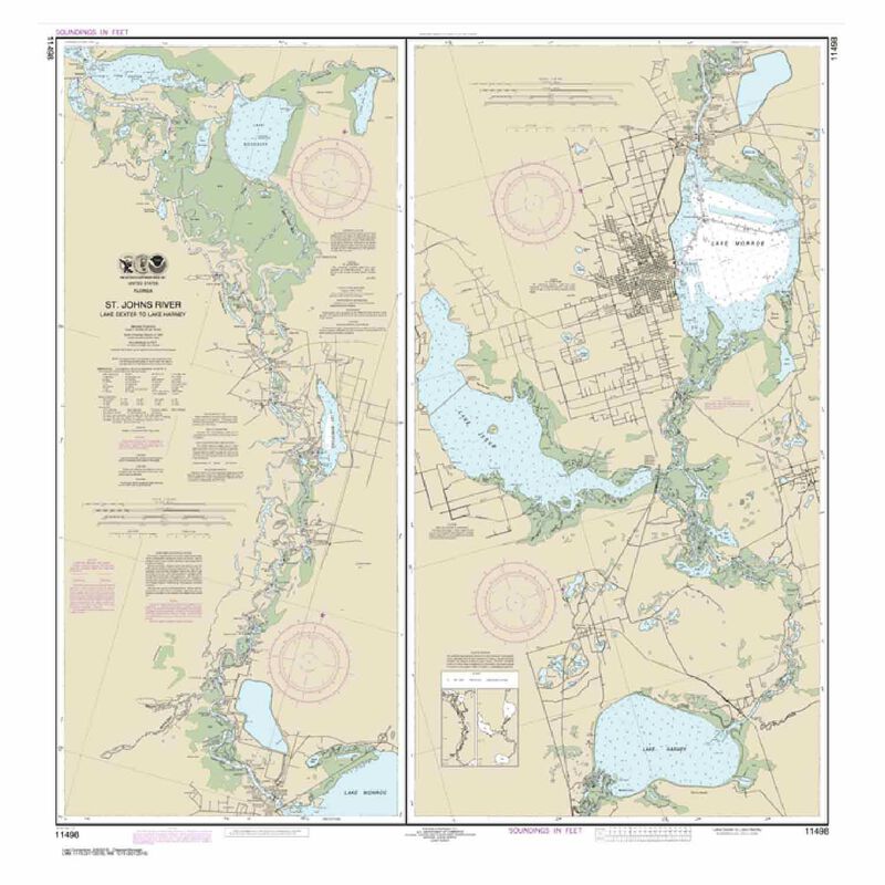
#11498 St. John's River Lake Dexter to Lake Harney
5X Points for all West Advantage Members.
Not a member? Sign up today.
Frequently Bought Together


Print on Demand Nautical Charts
- Distinctive graphics and vibrant colors provide easy readability under varying light conditions.
This chart is still available but due to a change in NOAA policy, it is no longer available as a certified POD chart that meets vessel carriage requirements. It will not include the NOAA POD certified label.
NOAA is transitioning to a new system for providing data for paper charts, called the NOAA Custom Chart (NCC) program, which will produce paper charts using NOAA's Electronic Nautical Chart (ENC) database. As a result, NOAA will incrementally stop updating raster chart files used for certified Print On Demand (POD) NOAA charts to meet USCG carriage requirements for commercial/inspected vessels.
NOAA's POD chart cancellation process is starting with geographic regions of low sales volumes during the multi-year conversion. The full suite of NOAA traditional paper charts will remain available for sale but cancelled chart numbers will not be updated by NOAA and will not comply with USCG chart carriage requirements for commercial/inspected vessels, such as tugs, tows, barges, charter boats, ferries and passenger vessels.
None of these actions will prevent the ability of private companies to produce chartbooks and waterproof charts as companies can use NOAA ENC and other sources to update and produce these types of products. Chartbooks and waterproof charts are widely used by recreational boaters for navigation and planning and they will remain readily available during and after the NOAA transition to the ENC / NCC system. Recreational boaters and small craft vessels can also continue to use NOAA’s traditional paper charts for planning and display purposes.
The NOAA Custom Chart program is under development. The goal is to produce a chart that has the "look and feel" of a NOAA traditional chart. Our understanding is that NOAA has yet to make a final decision on whether paper charts produced from the NCC program will be able to meet USCG chart carriage requirements.


