Mt. Desert Island to Machias Bay Waterproof Chart, 2nd Edition
Clearance
Mt. Desert Island to Machias Bay Waterproof Chart, 2nd Edition
Model #
13741350
Mfg #
WPC042-02
Clearance
$18.88
Price reduced from
$24.95
to
Model #
13741350
Mfg #
WPC042-02
Clearance offer reflects an additional 50% off the lowest price for in-store pick up only.
Quantity not available. Please adjust.
Temporarily Out of Stock
Thank you!
We'll let you know when it's back in stock.
-
+
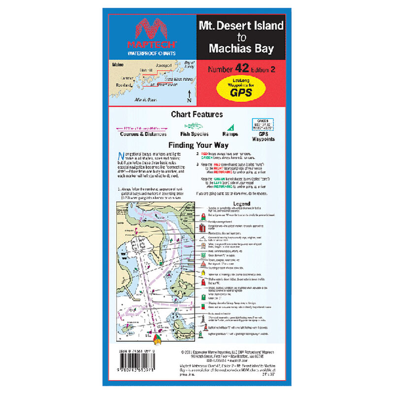
Use these unique “flip fold” charts in any weather! Spread out to the full 24" x 36" size to chart your entire course, or keep it folded to 6" x 14" and flip to your favorite fishing hole. Charts are oriented to coastlines; just flip a fold to follow your course. Extensive coverage in single kits saves you money over multiple paper charts. Useful features include launch ramps, pre-plotted courses and distances, Lat/Lon coordinates for navaids and full color illustrations of game fish.
Features
Waterproof
,
Folding
Region
Atlantic Coast


