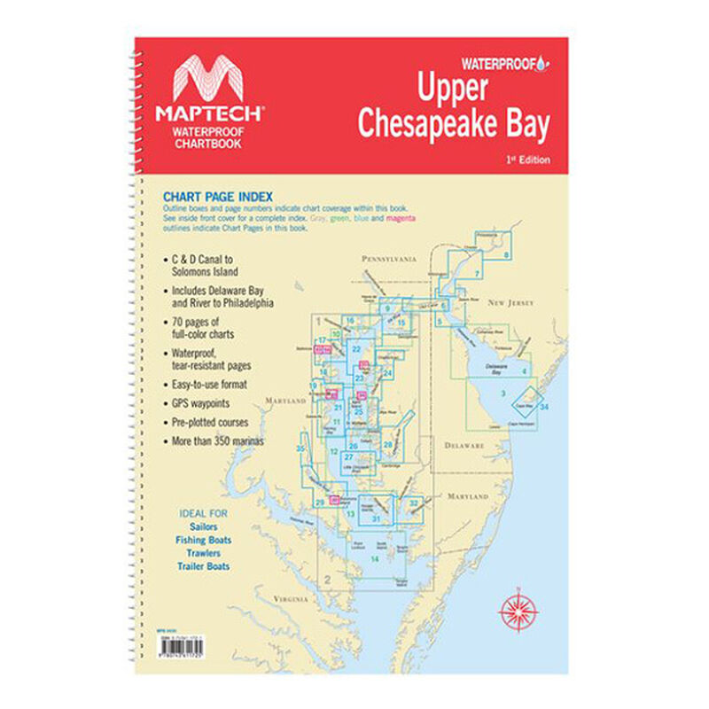
Waterproof Chartbook, Upper Chesapeake Bay
Clearance
$60.91
Price reduced from
$79.99
to
Model #
18424176
Mfg #
WPB0430-01
Clearance offer reflects an additional 50% off the lowest price for in-store pick up only.
Quantity not available. Please adjust.
Temporarily Out of Stock
Thank you!
We'll let you know when it's back in stock.
-
+
WPB Upper Chesapeake Bay, 1st Ed.
Covers C&D Canal to Solomons Island and includes Delaware Bay and River to Phildelphia. Offers full-color charts on waterproof, tear-resistant pages.
- Easy-to-use format
- Includes GPS waypoints
- Pre-plotted courses
- More than 350 marinas
- 70 chart pages
- Dimensions: 12" x 18" x 0.25"
Region
Atlantic Coast


