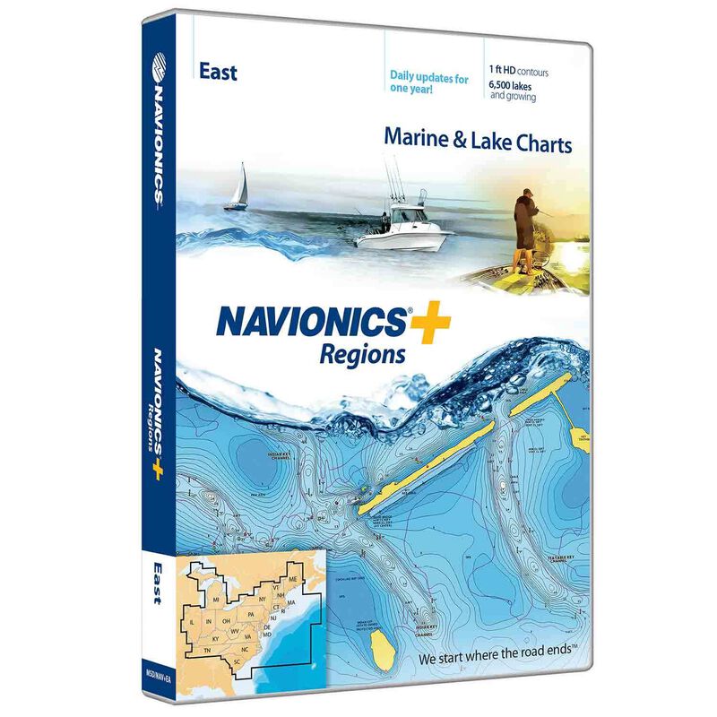
MSD/NAV+EA Region East Navionics+ Charts microSD/SD Card


Clearance offer reflects an additional 50% off the lowest price for in-store pick up only.
Navionics+ Regions cards give you access to an ever-growing database of marine and lake charts plus advanced features like SonarChart™ and Community Edits – and a year of free daily updates!
Always know precisely where you are on lake or sea when you use Navionics+ Regions cartography on your boat. With constantly updated maps, community edits and high-resolution photo and chart overlaying, you can feel secure navigating on all your boating adventures.
Both Fresh- and Saltwater Maps in the covered area, giving you the versatility to go wherever your boat will go.
Constantly Expanding Database of marine and lake charts with over 6,500 lakes – including border lakes left out of most cartography cards – and more added every day.
High-Definition Contours at 1’ intervals so you get a great view of the underwater landscape.
One Free Year of daily updates to Nautical Chart, Sonar Chart and Community Edits gives you peace of mind in an ever-changing world
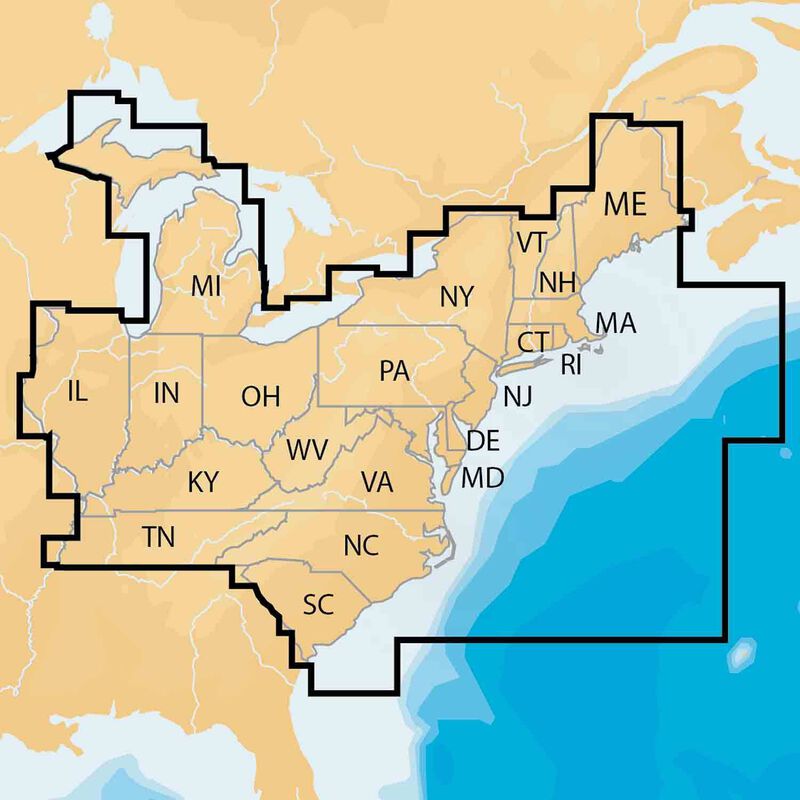
Coverage
- Eastern U.S.: Inland and Coastal; U.S. side of The Great Lakes
- CT; DE; IL; IN; KY; MA; MD; ME; MI; NC; NH; NJ; NY; OH; PA; RI; SC; TN; VA; VT; WV
- View Chart Detail
Key Features
- Precision and Accuracy: View the exact position of your vessel, detailed coastal features, obstructions, waterways, and depth contours so you will always know precisely where you are and where you want to go.
- Advanced Features: 3D view, high-resolution photo/chart overlay, marina photos, and more are all part of the Navionics Platinum+ package.
- SonarChart: With high-definition 1’ bathymetry nearshore and 3’ – 6’ contours offshore beyond 90’, you will get a clear view of the underwater landscape. Add your own sonar data to the mix and create detailed maps of your favorite routes and anchorages.
- More than Maps: To ensure the best boating experience, Navionics Platinum+ doesn’t stop at maps and viewpoints. Port services information and local tides and currents are included on this card so you’ll have access to all the data you need to make each voyage a success.
- Community Edits: Corrections, adjustments, and additions made by the boating community can be downloaded and added to your charts daily!
- Fresh- and Saltwater charts: With Navionics Platinum+ you get both fresh- and saltwater charts in the covered region.
What’s in the Box
- 16 GB Navionics+ Regions card
- USB reader
- Documentation packet


