Maptech® NOAA Recreational Waterproof Chart-Block Island Sound and Approaches, 13205
Maptech® NOAA Recreational Waterproof Chart-Block Island Sound and Approaches, 13205
Model #
16631764
Mfg #
13205WP-REC
$32.99
Model #
16631764
Mfg #
13205WP-REC
Quantity not available. Please adjust.
Temporarily Out of Stock
Thank you!
We'll let you know when it's back in stock.
-
+
Frequently Bought Together


In-Stock. Guaranteed.

In-Stock. Guaranteed.

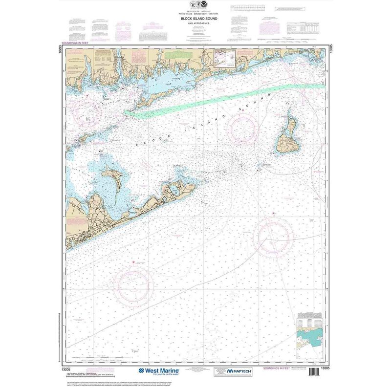
13205, Maptech® NOAA Recreational Waterproof Chart-Block Island Sound and Approaches. Maptech® NOAA recreation charts are ideal for use aboard recreational (non-commercial) vessels. Printed on durable waterproof plastic. Accurate and up to date — usually printed after you order is placed. Maptech® NOAA charts use traditional NOAA chart colors which also makes them the perfect choice for framing and decorative purposes.
Cartography
Block Island Sound and Approaches
Features
Waterproof
Region
Atlantic Coast
Scale
1:80000
States
Rhode Island
,
Connecticut
,
New York


