Maptech® NOAA Recreational Waterproof Chart-Frenchman and Blue Hill Bays and Approaches, 13312
Maptech® NOAA Recreational Waterproof Chart-Frenchman and Blue Hill Bays and Approaches, 13312
Model #
16634982
Mfg #
13312WP-REC
$32.99
Model #
16634982
Mfg #
13312WP-REC
Quantity not available. Please adjust.
Temporarily Out of Stock
Thank you!
We'll let you know when it's back in stock.
-
+
Frequently Bought Together

In-Stock. Guaranteed.

In-Stock. Guaranteed.


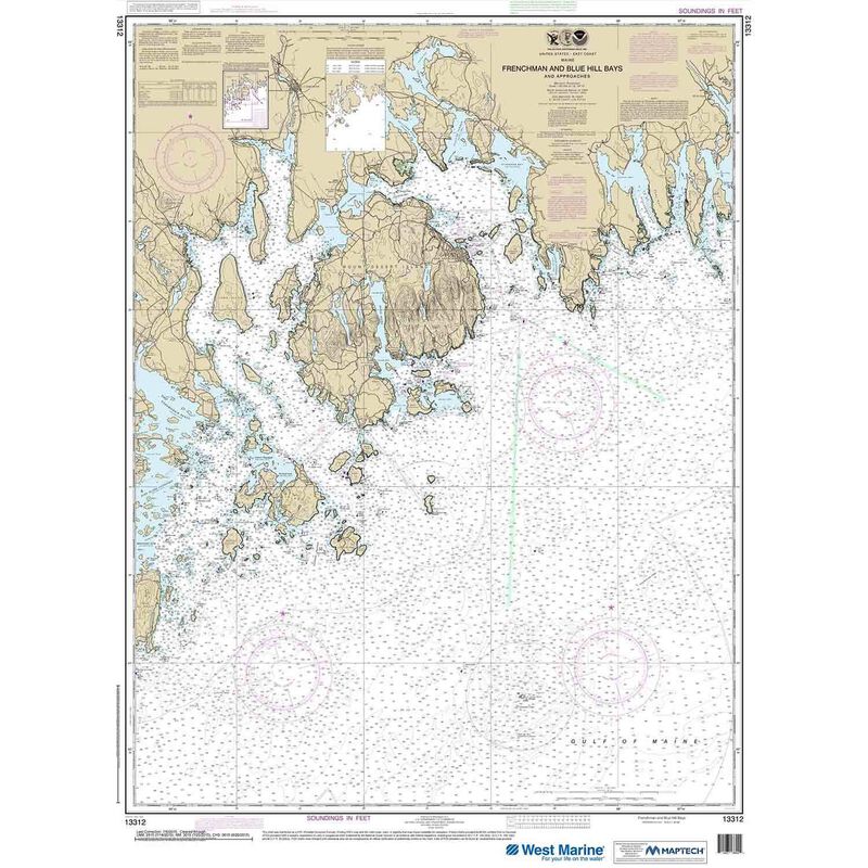
13312, Maptech® NOAA Recreational Waterproof Chart-Frenchman and Blue Hill Bays and Approaches. Maptech® NOAA recreation charts are ideal for use aboard recreational (non-commercial) vessels. Printed on durable waterproof plastic. Accurate and up to date — usually printed after you order is placed. Maptech® NOAA charts use traditional NOAA chart colors which also makes them the perfect choice for framing and decorative purposes.
Cartography
Frenchman and Blue Hill Bays and Approaches
Features
Waterproof
Region
Atlantic Coast
Scale
1:80000
States
Maine


