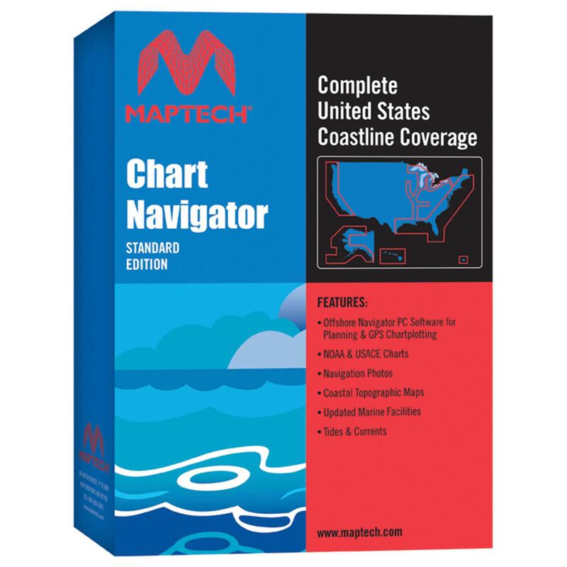
Chart Navigator Standard Edition


Clearance offer reflects an additional 50% off the lowest price for in-store pick up only.
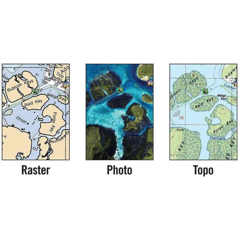
Maptech's Chart Navigator Standard is a full-featured GPS planning and charting software for laptops and PCs. Chart Navigator Standard includes Raster NOAA Charts of the entire U.S. Coast and Army Corps of Engineers' Inland Waterway Charts, as well as satellite photos, aerial photos, and coastal topographic maps. Chart Navigator Standard also has on-screen display of marine facilities. Included is the Maptech Offshore Navigator program, which provides the tools for route planning and navigating in real time, plus tide and current information for U.S. waters. Chart Navigator Standard can be interfaced with GPS, autopilots and other NMEA 0183 instruments.
Minimum System Requirements: Windows 2000, NT, XP, Vista, 7, 8, or 10; Pentium-class CPU; 64 MB RAM; 100 MB hard drive space; 16-bit, 800 x 800 display; CD-ROM drive.
GPS connection requires: industry-standard NMEA 0183 GPS; connection cable; one available COM port. Autopilot connection requires: connected GPS; NMEA 0183 autopilot; connection cables.


