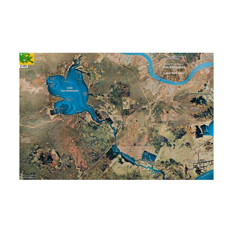
Des Allemands/Lake Salvador, Louisiana Laminated Map
Clearance
Des Allemands/Lake Salvador, Louisiana Laminated Map
Model #
615927
Mfg #
LM048
Clearance
$7.55
Price reduced from
$19.95
to
Model #
615927
Mfg #
LM048
Clearance offer reflects an additional 50% off the lowest price for in-store pick up only.
Quantity not available. Please adjust.
Temporarily Out of Stock
Thank you!
We'll let you know when it's back in stock.
-
+
Frequently Bought Together
In-Stock. Guaranteed.

In-Stock. Guaranteed.


Standard Mapping Services Aerial Photo Maps are highly detailed and accurate maps for the modern mariner.
While utilizing the most current technologies, Standard Mapping Services produce only the highest quality, full color, and laminated photo maps. These beautifully detailed maps are easy to read and contain convenient, easy to use, GPS coordinates based on the most current sources of information from local navigators.
- Full color
- Rolled, laminated
- Approx. 22" x 34"
Features
Waterproof
States
Louisiana


