Arctic Canada Charts

Clearance offer reflects an additional 50% off the lowest price for in-store pick up only.
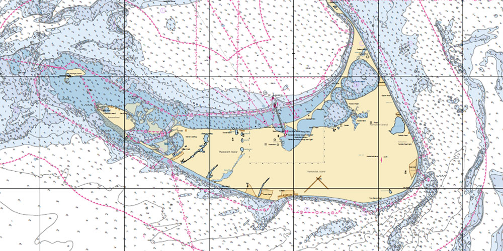
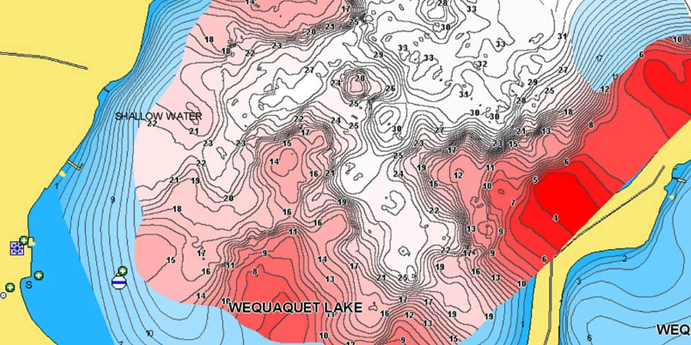
CHS produces and publishes almost 1,000 nautical charts covering Canadian waters. Nautical charts show hazards, aids to navigation, features along the shoreline and the seafloor, as well as man-made and natural features of the area.
- Large-scale insets of the most frequented small craft havens
- Photographs of the approaches to harbors and channels
- Important geographic reference points
Each chart also contains a narrative with descriptions of navigation aids and dangers, tide and current characteristics, and information on supplies and facilities at anchorages.
- Weather information with meteorological tables
- Weather broadcast information and wind diagrams
- Emergency information included


