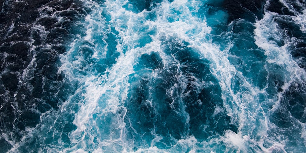
The ocean covers over 70% of Earth’s surface, and most of it remains less explored than the surface of the moon. But for recreational boaters, understanding how ocean depth works has direct practical implications — for fishing, diving, anchoring, navigation, and weather. Here’s a look at the ocean’s depth zones and what they mean for life on the water.
- The Five Ocean Depth Zones
- The Deepest Point: Challenger Deep
- What Ocean Depth Means for Boaters
- Depth and Fishing
- Depth and Diving
- FAQs
The Five Ocean Depth Zones
Scientists divide the ocean into five zones based on depth, light penetration, temperature, and the life found there. Most recreational boating takes place in just the first two.
- Epipelagic Zone (The Sunlight Zone) — 0 to 200 meters (656 feet): Sunlight penetrates here, supporting photosynthesis and the majority of marine life. This is where recreational divers, snorkelers, sport fishermen, and sailors spend their time. Nearly all fish species targeted by sport fishing — tuna, mahi-mahi, wahoo, marlin, sailfish, snook, redfish, striped bass — live and feed in the upper portion of this zone. Water temperatures here respond to seasons and weather.
- Mesopelagic Zone (The Twilight Zone) — 200 to 1,000 meters (3,280 feet): Minimal light reaches this layer. Bioluminescent creatures like lanternfish, which migrate upward to feed at night, live here. This zone matters to offshore anglers because deep-dropping for species like swordfish, grouper, and tilefish targets the upper mesopelagic. Long-range offshore vessels equipped with electric reels and braided line can work these depths.
- Bathypelagic Zone (The Midnight Zone) — 1,000 to 4,000 meters (13,123 feet): Complete darkness. Creatures here — anglerfish, giant squid — have adapted to extreme pressure and cold. No recreational fishing reaches these depths.
- Abyssopelagic Zone (The Abyss) — 4,000 to 6,000 meters (19,685 feet): Near freezing, with pressures hundreds of times greater than at the surface. The ocean floor at most locations on Earth lies somewhere in this zone.
- Hadalpelagic Zone (The Trenches) — 6,000 meters to 11,000 meters (36,089 feet): Found only in deep ocean trenches. The Mariana Trench is the best-known example.
The Deepest Point: Challenger Deep
The deepest known point in the ocean is Challenger Deep, located in the Mariana Trench in the western Pacific Ocean — approximately 10,984 meters (36,037 feet) below the surface. If Mount Everest were placed there, its peak would still be more than two kilometers underwater.
The first humans to reach Challenger Deep were Jacques Piccard and Don Walsh in the bathyscaphe Trieste in 1960. In 2012, filmmaker James Cameron made the first solo descent in the Deepsea Challenger. In 2019, explorer Victor Vescovo reached the deepest confirmed point in the DSV Limiting Factor, measuring 10,928 meters. The pressures at this depth — over 1,000 atmospheres — are sufficient to crush most materials and make direct human exploration extraordinarily difficult and expensive.
What Ocean Depth Means for Boaters
For practical purposes on the water, ocean depth matters in several ways:
Anchoring: Recreational anchoring is generally practical to about 150–200 feet. Beyond that, the rode length required becomes unwieldy and swing circles become enormous. Understanding the local bathymetric chart (depth contours) helps you identify good anchoring ground — not too deep, with the right bottom type for your anchor, and protected from the primary wind direction. Electronic navigation charts on most modern chartplotters display depth contours continuously as you move.
Weather and ocean temperature: Surface water temperature — in the Epipelagic Zone — directly affects local weather, fog formation, and fishing conditions. The thermocline, the sharp temperature boundary between the warm surface layer and colder deep water, is one of the primary features offshore anglers use to find fish. Many modern fishfinders can display water temperature continuously; a sudden drop in surface temperature as you move offshore often indicates a thermocline outcropping that concentrates bait and predators.
Navigation: Depth sounders and fishfinders display real-time depth, which is critical for avoiding shallow water, finding channels, and identifying bottom structure. Bottom hardness, contour changes, and depth transitions are what put fish in specific places. A good understanding of depth — and the tools to read it — is fundamental to both safe navigation and productive fishing.
Depth and Fishing
Most inshore and nearshore fishing targets species in 1–100 feet of water — the upper Epipelagic Zone. Offshore trolling for pelagics like mahi-mahi, tuna, wahoo, and billfish typically takes place in 100–600 feet, still within the Epipelagic. The depth break where the continental shelf drops away is a major fishing landmark — baitfish and current features concentrate here, and the predators follow.
Deep-dropping for swordfish, tilefish, golden tilefish, and grouper pushes into the upper Mesopelagic — typically 1,000–1,800 feet. This style of fishing requires electric reels capable of handling that depth efficiently, heavy lead weights (typically 2–4 lbs.), and braided line to minimize stretch at depth.
Understanding depth is also how experienced anglers find fish structure. Ledges, humps, seamounts, and depth transitions concentrate fish predictably — and they show up clearly on detailed electronic charts combined with a quality fishfinder.
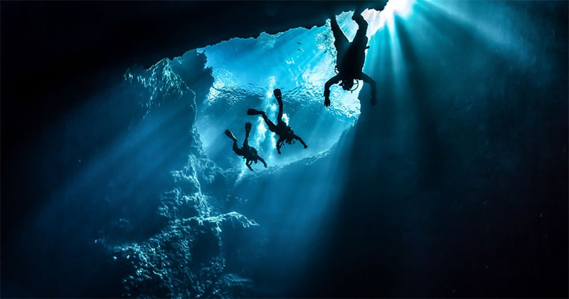
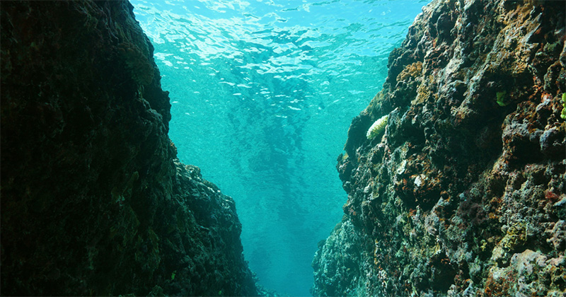
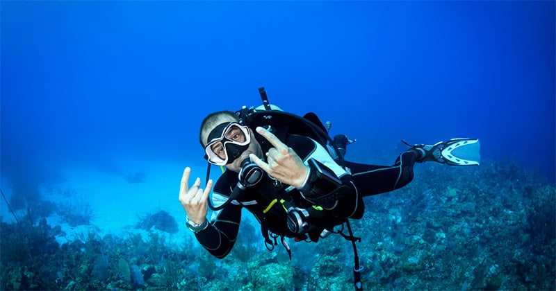
Depth and Diving
Recreational scuba diving is limited by physiology, equipment, and training to the upper Epipelagic Zone. The recreational dive limit is 40 meters (130 feet) — set by the major training agencies (PADI, SSI, NAUI) based on the risk of nitrogen narcosis and decompression sickness. Technical divers using mixed-gas equipment and specialized training can reach 100 meters (330 feet) or deeper.
The most biodiverse and visually spectacular diving — coral reefs, kelp forests, wrecks, and marine preserves — occurs in the top 30 meters (100 feet), well within recreational limits. Water clarity, temperature, and current all vary dramatically with depth even within the shallow Epipelagic.
Frequently Asked Questions
How deep is the average ocean?
The average depth of the world’s oceans is approximately 3,688 meters (12,100 feet) — well into the Abyssopelagic Zone. The Pacific is the deepest ocean at an average of about 4,000 meters; the Arctic is the shallowest at about 1,200 meters. Most of the ocean floor that makes up this average lies far below anything accessible to recreational boaters or divers.
How deep is the continental shelf and why does it matter for fishing?
The continental shelf — the relatively shallow underwater extension of a continent — typically extends to about 200 meters (650 feet) before dropping away steeply to the deep ocean floor. This drop-off, called the continental shelf break, is one of the most productive fishing environments in the ocean. Current, upwelling, and bait concentration at the break attract pelagic species in large numbers. Along the US East Coast, the Gulf Stream flows parallel to and beyond the shelf break, making the shelf edge and the Gulf Stream temperature break two of the primary offshore trolling targets.
What depth can a recreational fishfinder read accurately?
Most consumer-grade fishfinders read accurately to 1,000–3,000 feet depending on the transducer frequency and power. Lower frequencies (50 kHz) penetrate deeper but with less resolution; higher frequencies (200 kHz, CHIRP) provide greater detail at shallower depths. For deep-dropping applications targeting 1,000+ feet, a low-frequency or CHIRP-capable unit with a compatible transducer is required. For most inshore and nearshore fishing to 300 feet, any modern mid-range fishfinder performs adequately.
How does water depth affect anchoring?
Anchoring depth directly determines the scope of rode you need to deploy. Scope — the ratio of rode length to depth (measured from the bow chock, not the waterline) — should be at minimum 5:1 in calm conditions and 7:1 or greater in wind or chop. In 50 feet of water that means 250–350 feet of rode deployed; in 100 feet, 500–700 feet. The swing circle your boat occupies at anchor also expands with depth and scope, which matters in crowded anchorages. Recreational anchoring becomes impractical beyond about 150–200 feet in most circumstances.