ECHOMAP UHD2 9" sv Chartplotters
Model #
20744033
Mfg #
010-02688-00
$1,199.99
Orders placed by 3 PM EST typically ship the same day. Orders placed after this time will be processed the next business day.

+7





Out Of Stock
Item out of stock get notified when back in stock:
Thank you!
We'll let you know when it's back in stock.
Quantity not available. Please adjust.
−
+
Complete Your Purchase


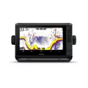
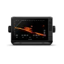
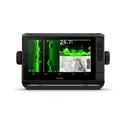
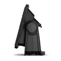
Garmin ECHOMAP UHD2 9" sv Chartplotters
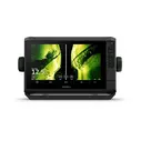
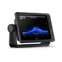
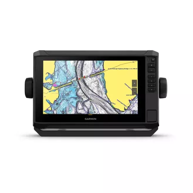
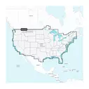
The ECHOMAP UHD2 9" sv chartplotter represents Garmin's most advanced all-in-one marine navigation and fish-finding solution. Built with three distinct sonar technologies—traditional CHIRP, high-contrast ClearVü scanning sonar, and brilliant SideVü scanning sonar—this device provides unprecedented underwater visibility and fish detection capabilities. The unit includes Garmin Navionics+ U.S. Inland Mapping with daily update subscriptions, delivering detailed charts for inland lakes and waterways across the United States.
Key Features
- 9-inch bright touchscreen display with keyed-assist controls for reliable operation in any condition
- Ultra High-Definition SideVü and ClearVü scanning sonars with high-contrast vivid color palettes for superior target distinction
- Built-in traditional CHIRP sonar (50/77/83/200 kHz) with single-channel capabilities and multiple frequency options
- Panoptix sonar compatibility, including support for LiveScope live-scanning sonar technology
- Garmin Navionics+ inland and coastal mapping with automatic daily chart updates
- Wireless networking to share sonar, waypoints, and routes between compatible ECHOMAP UHD2 devices
- Integrated Wi-Fi connectivity paired with the free ActiveCaptain app for OneChart features, smart notifications, and software updates
- Auto Guidance+ routing technology for safe water navigation (downloadable via ActiveCaptain)
- 5,000 waypoints and 50 saved tracks with 100 navigation routes
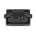
- NMEA 2000 compatibility with one Garmin Marine Network port and one 12-pin transducer port
- Multi-band, multi-constellation GPS with GLONASS, Galileo, and BeiDou support for improved accuracy in weak signal areas
- Force trolling motor integration for automated route following and waypoint navigation
- Power-Pole shallow water anchoring system integration with advanced boat control features
- IPX7 water rating for reliable freshwater and saltwater operation
- Bail or flush mounting options with included tilt mount and quick-release cradle

Cancer and Reproductive Harm
www.P65Warnings.ca.gov
Cartography
Garmin Navionics+ Inland
Compatibility
NMEA 2000
,
Panoptix
,
LiveScope
,
Fusion-Link
,
ActiveCaptain
Diagonal Screen Size
9"
Display Type
Touchscreen with Keyed Assist
GPS
Yes
Height
6.5"
Mount Type
Bail
,
Flush
Resolution
1024 x 600 pixels
Sonar
Ultra High-Def SideVü
,
ClearVü
,
Traditional CHIRP
Transducer Included
No
Voltage
9 to 18 Vdc
Weight
2.9 lbs
Width
10.4"
You May Also Like

Clearance

GARMIN
ECHOMAP™ Ultra 2 106sv Fishfinder/Chartplotter Combo with Navionics+™ U.S. Inland and Coastal Charts
1
$1,889.98
Price reduced from
$2,099.99
to


