LightHouse Charts - North America


Take command of surrounding waters with LightHouse Chart - North America.
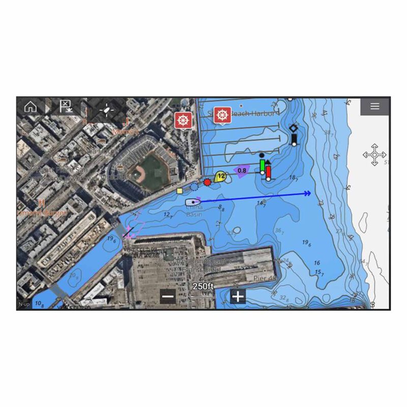
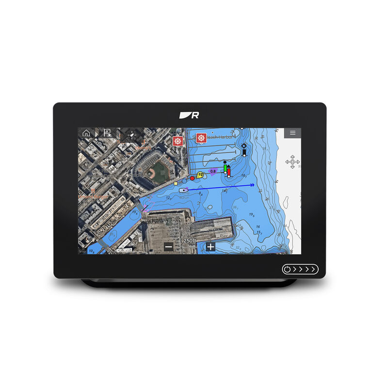
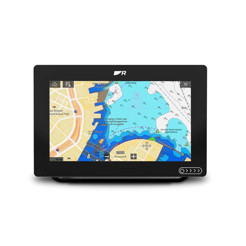
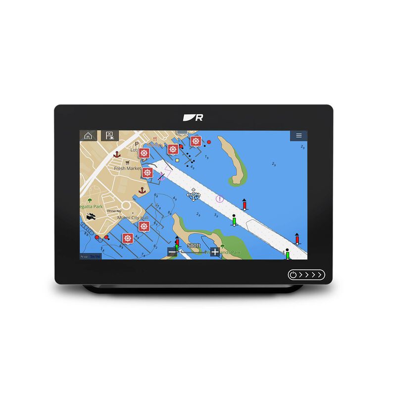
Discover visually stunning, customizable charts with color-shaded depth contours, data-rich points of interest, and superior clarity that only Raymarine can provide. LightHouse Chart - North America will give you the ability to uncover every detail and explore without limits. Coverage area includes coastlines of the contiguous U.S., Alaska, Hawaii, thousands of inland freshwater bodies of water, and the Bahamas. Also includes The Great Lakes and related waterways, British Columbia, The St. Lawrence River, the coastlines of Newfoundland, Nova Scotia, Prince Edward Island and New Brunswick.
LightHouse Chart - North America is compatible with:
- Raymarine Axiom
- Axiom+
- Axiom Pro
- Axiom XL
- Raymarine Element.
Features:
- High Resolution Satellite Imagery
- RealBathy Custom Mapping
- Fishing Chart Mode with verified Fishing Hot Spots
- Flexible Color Modes
- Professional or Leisure chart modes
